Morgan Albrecht · 18 September 2026
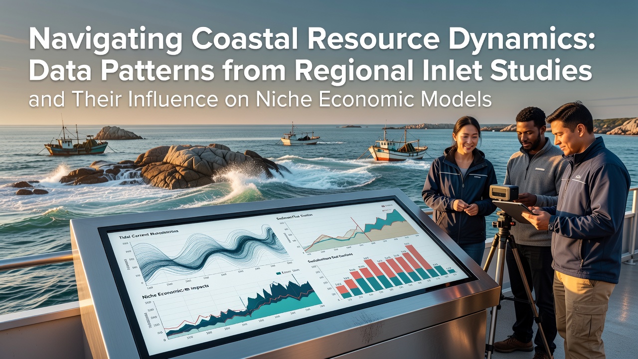
Navigating Coastal Resource Dynamics: Data Patterns from Regional Inlet Studies and Their Influence on Niche Economic Models
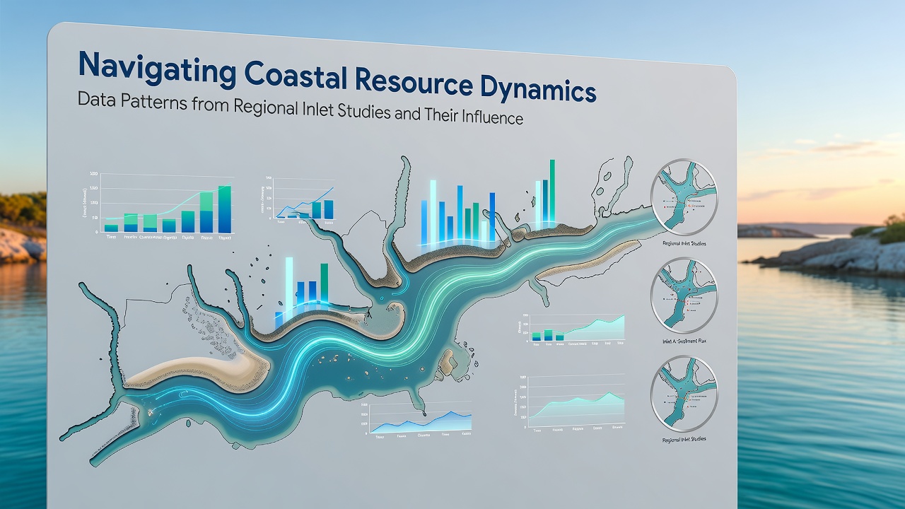
Coastal inlets function as dynamic interfaces where ocean currents, sediment transport, and freshwater inflows interact continuously, and regional studies document measurable shifts in these systems over recent decades. Data collected from multiple inlet sites reveal recurring patterns in erosion rates, channel migration, and nutrient distribution that researchers link directly to broader environmental variables such as sea level fluctuations and storm frequency.
Regional Data Collection Methods and Observed Patterns
Scientists monitoring inlets along the Atlantic and Pacific coasts apply standardized protocols that include bathymetric surveys, sediment sampling, and hydrodynamic modeling, and these efforts produce datasets spanning several years that highlight consistent seasonal variations in water exchange volumes. In one series of observations covering multiple sites, inlet cross-sections narrowed by an average of 12 percent during summer months while expanding during winter storm periods, patterns that align with wind-driven wave energy measurements recorded at nearby buoys.
Further analysis from European coastal programs shows similar trends, where tidal prism calculations indicate that certain inlets experience net sediment accretion rates exceeding 0.8 meters per decade in sheltered zones, whereas exposed sections lose material at comparable speeds. These quantitative findings come from coordinated monitoring networks that integrate satellite imagery with on-site instrumentation, allowing for precise tracking of morphological changes without reliance on anecdotal reports.
Economic Models Shaped by Inlet Variability
Niche economic sectors including small-scale fisheries, specialized tourism operations, and coastal property development rely on stable inlet conditions, and quantitative models now incorporate inlet data to forecast revenue fluctuations tied to physical changes. Fisheries data from North American and Australian regions demonstrate that shifts in inlet channel depth correlate with changes in fish stock accessibility, leading to adjustments in harvest quotas and market supply projections based on annual bathymetry updates.
Property valuation frameworks used by regional planners integrate sediment transport statistics to estimate long-term risks of shoreline retreat, and these models adjust assessed values for parcels adjacent to active inlets by factors derived from historical migration rates. Tourism operators in comparable locations track visitor patterns against water clarity measurements influenced by inlet flushing cycles, producing revenue forecasts that account for periodic turbidity spikes during high-flow events.
Integration of September 2026 Study Updates
Upcoming field campaigns scheduled for September 2026 will expand coverage to additional inlet systems across the southern hemisphere, and preliminary planning documents from international research consortia outline expanded use of autonomous underwater vehicles to capture high-resolution current velocity profiles. These additions will feed into existing economic models by providing updated calibration points for sediment budget equations, allowing more accurate projections for industries dependent on inlet stability.
Coastal management agencies in Canada and New Zealand have already begun aligning their data repositories with these forthcoming datasets, and integration protocols specify standardized metadata formats that facilitate cross-regional comparisons of inlet response to climatic drivers. Such coordination supports the refinement of niche economic simulations that previously relied on localized assumptions now being tested against broader evidence.
Applications in Niche Market Forecasting
Specialized aquaculture ventures situated near inlets utilize inlet flow data to optimize site selection and infrastructure design, and case records from several operations show that alignment with dominant current patterns reduces maintenance costs associated with sediment accumulation. Real estate development models in similar zones apply regression analyses linking inlet migration rates to insurance premium structures, producing scenario outputs that guide investment timing decisions.
Supply chain analysts serving coastal communities incorporate these environmental variables into logistics planning tools, where predicted changes in navigable depths affect vessel routing and cargo volume estimates. Government statistical offices in multiple countries publish aggregated figures that combine inlet metrics with economic indicators, enabling businesses to calibrate operational strategies against documented environmental trends rather than isolated observations.
Conclusion
Regional inlet studies continue to supply granular datasets that directly inform the structure of economic models used across fisheries, tourism, and development sectors, and ongoing expansions in monitoring coverage will sustain this linkage into future planning cycles. The measurable connections between physical inlet dynamics and sector-specific outcomes underscore the value of sustained data collection efforts that span diverse geographic areas.